Table of Contents
At present, LiDAR is one of the most advanced and reliable optical remote sensing technology. It has the advantages of Higher Accuracy, Fast acquisition, and processing, Weather/light independence, canopy penetration, Higher data density, and many more.
What is LiDAR?
When the laser points the target area of land or any object, the light reflects by the surface it encounters. These indicators are captured as a point cloud, a replica of matter in the digital platform. It is a collation of a vast number of single spatial measurements into the dataset. The single points represent in X, Y, and Z geometric coordinates.
In the study of disaster response, the points clouds are used to create digital elevation models, vegetation- canopy models, Building-city models, etc. LiDar helps in mapping the smallest details each of the events and offers an unparalleled and incisive view. The main advantage is the large mapping area in less time concern for the disaster studies. Lidar is used in disaster studies such as flood mapping, earthquakes, landslides, Coastal disasters, and Forest Fire.
LiDAR In Disaster Response
LiDar is used to create DTM, DEM, DSM. LiDar data is merged with other remote sensing techniques such as Satellite Interferometry, Photogrammetry for reliable data.
Digital Surface Model ( DSM ) captures the natural and built features on the Earth’s surface. High-resolution satellite imagery is combined with LiDar raster data is used for building, public utilities damage detection in Earthquake studies to improve the relief operation.
The 3D model of the urban area helps to identify and rectify the exact damage concerning the precise location on every aspect in public utilities say, for example, the electric pole damages due to the storm or any disaster.

It also helps in finding the flood-prone Zones in the urban area.
DSM helps in forest study to get vegetation data, which allows monitoring the wildland and assessing Wildland fire risks and in mapping the post calamity assessment.

Digital Elevation Model (DEM) is the data that reveals the relief of a surface with elevation at any point and with many aspects. Digital Terrain Model (DTM) is the bare earth surface model without any ground cover features. It helps us to study the elevation, slope angle, curvature, and many aspects.
Flood mapping is used with LIDAR data to study the terrain stability along the river banks and to map the flood risk zones.
Also Read
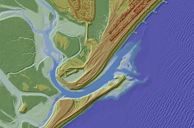
The model helps to find the terrain alteration and changes accurately over the coastal area after the coastal disaster like sea intrusion. The tidal area elevation model is used in mapping the disaster-prone zones.
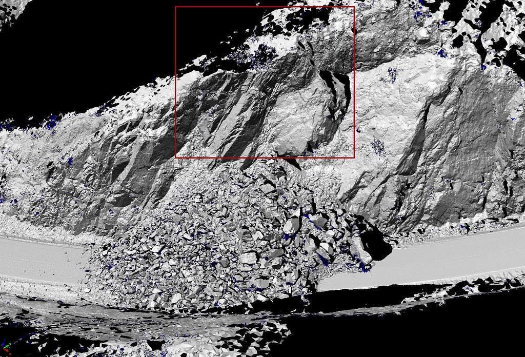
LiDar mapping technique also used to prevent human-made – minor disasters. It helps in construction such as tunnel for mapping and monitoring and avoiding damages due to collapse and in the mining area to study the terrain – excavation and monitoring the bench stability.

The LIDAR data sets have taken over the disaster response. The studies become more accurate and easy to monitor with LiDar technology. It plays a tremendous role in mapping, which helps to understand and act on the situation rapidly and effectively during any crisis or disaster.
RELATED POSTS
- Image Classification Techniques in Remote Sensing
- Top 10 Topographic Maps From Around the World
- Geographical Information System (GIS) in Urban Planning
Looking for more? Subscribe to weekly newsletters that can help your stay updated on Geographic Information Systems and Application developments.


