Table of Contents
Geographic Information System (GIS) is a framework for understanding the modern developments and infrastructures related to the spatial and non-spatial data. Like any tech, GIS technology has upcoming advancements and progressive ideas to sustain in the uncertain market. But the innovation keys are also as demanding as other automatics when compared to geospatial.
Initiating an Innovation
An innovation strategy is essential for approaching future challenges. To identify the areas where innovation is lightened and knowing the structure is essential. Because the change in the track of an existing methodology in geospatial put forth a lot of questions and innovation is the only way to overcome challenges.
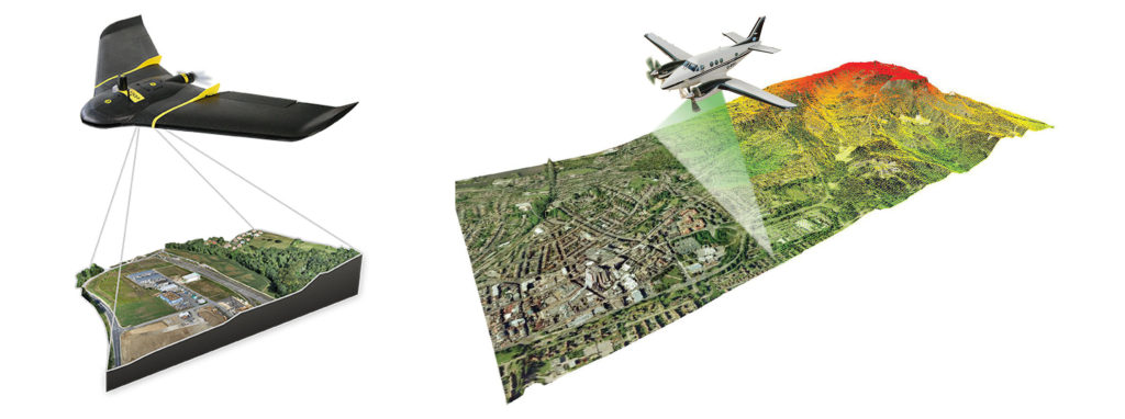
Typically the solution should be way more accessible than the existing one or take the output to the next level as the best-quantified one. This kind of approach transformed traditional cartography into interconnectivity to every point in real-time. In Highway Survey, the lack of labor resources and time consumption leads to finding the Mobile Lidar System (MLS) and Drone Survey.

Accumulation of Ideas
The advancement in every geospatial product and methods is an ongoing process. So first of all, we have to conduct a meeting teamwise to get to know the areas where struggles are existing in the system. The issues would be an outdated technology, incapability of the device, lack of resources, time consumption, or in the unnecessarily extended methodology.
The geospatial challenges faced by the resources should be collected in a teamwise manner since each fund has a different exposure in every different technology and software. For example, a person working in LiDAR can explain and give suggestions on the subject matter, same follows for other aspects. All fields of study may seem different, yet the methodology and the results mostly find the same way. With many ideas, there is a higher possibility of finding a solution.
Exploration
After listing out the geospatial problems and the ideas, we have to make sure of prioritizing things that needs prior attention. Here prioritization plays a significant role. Because the organization can have the strengths and weaknesses, so we have to identify them before initiating the innovation. We must have the ability to look out their potential in managing the cost and utilizing the resources to explore a new strategy or producing a device. Hereabouts we also need to look out for the probability of the need for innovation. The innovations would be making a real-time map, solving a spatial problem, or collecting statistical attributes. This can be cleared out by prioritizing the things.
Interacting with Professionals
It is critical to interact with geospatial professionals before executing the new strategy or building a new device. We have to take some time to interact with them so that we can learn a more appropriate way to approach the issue diplomatically. Considering the experts’ advice before deploying the solution makes the solution-finding process a logical one and can be used to identify the difficulties involved in that process.
Competitive Advantages & Disadvantages
The organization which incorporates new strategies and ideas in geospatial into its operations experiences both have advantages and disadvantages. The benefits would be less time consumption in specific tasks, improved accuracy, and fewer human-made errors. The disadvantages are also thereby providing cost to implementing such a system. But for an organization, sustainability is more necessary as taking an insight into problems.
Conclusion
Giving a hand up for the involvement of employees and encouraging them to give new ideas and making them participate in execution in projects leads to new innovations and can add value to the company. The innovative needs action and changes are necessary for growing the business by staying relevant to the clients.
RELATED POSTS
- Image Classification Techniques in Remote Sensing
- Top 10 Topographic Maps From Around the World
- Geographical Information System (GIS) in Urban Planning
Looking for more? Subscribe to weekly newsletters that can help your stay updated on Geographic Information Systems and Application developments.


